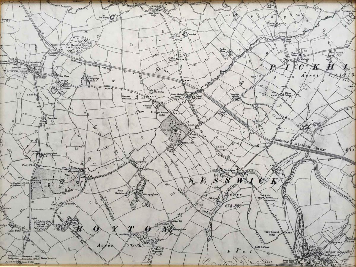
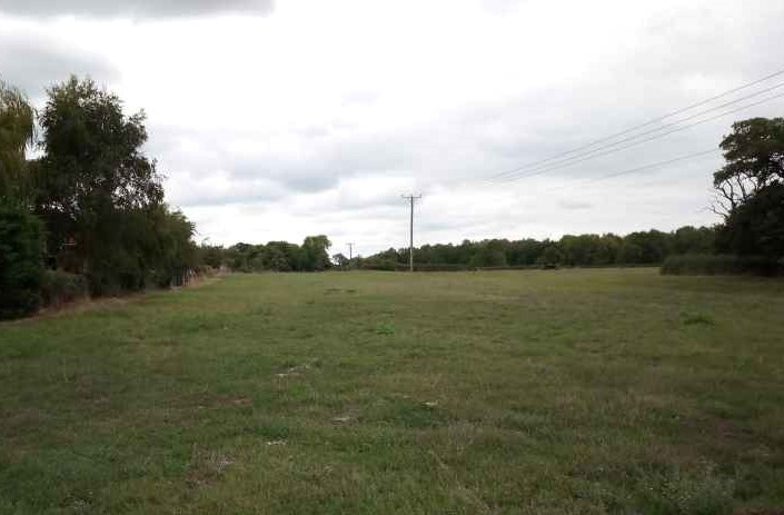
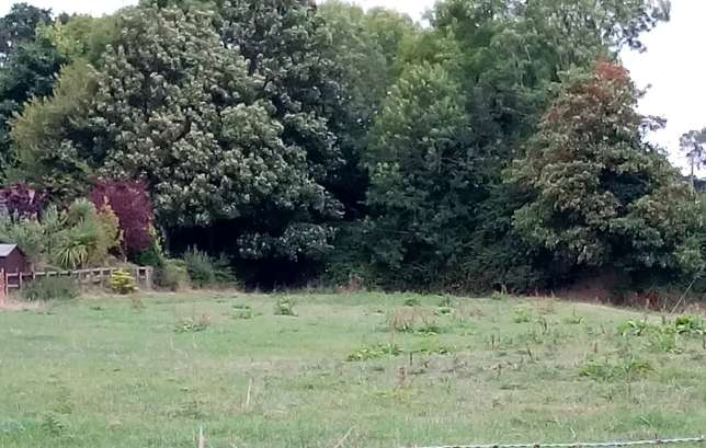
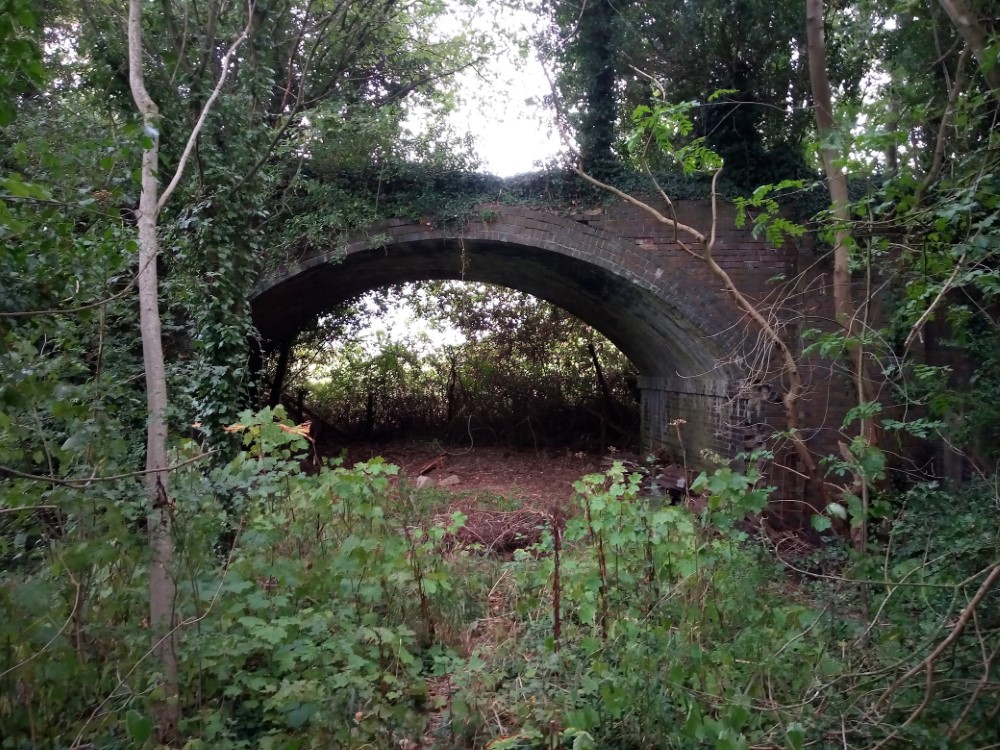
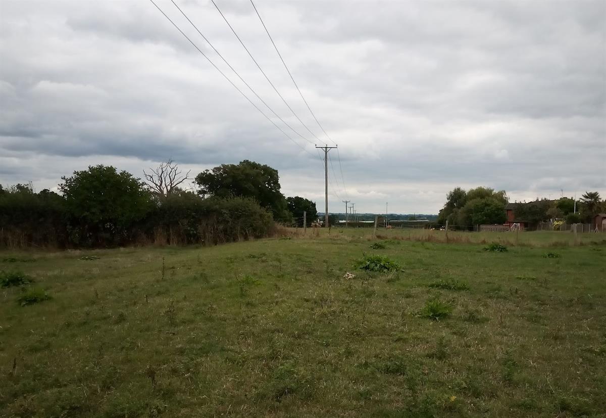
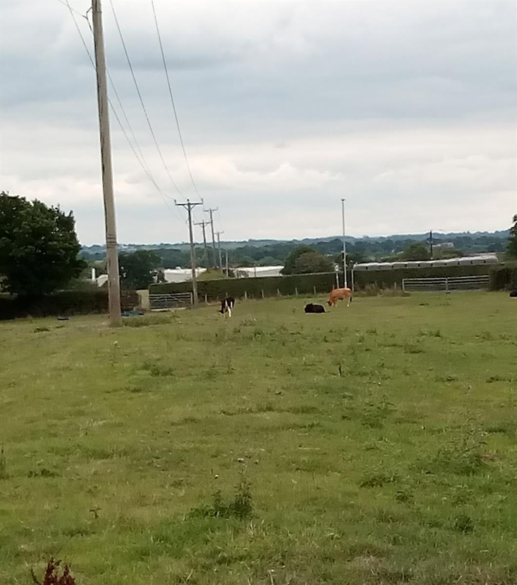
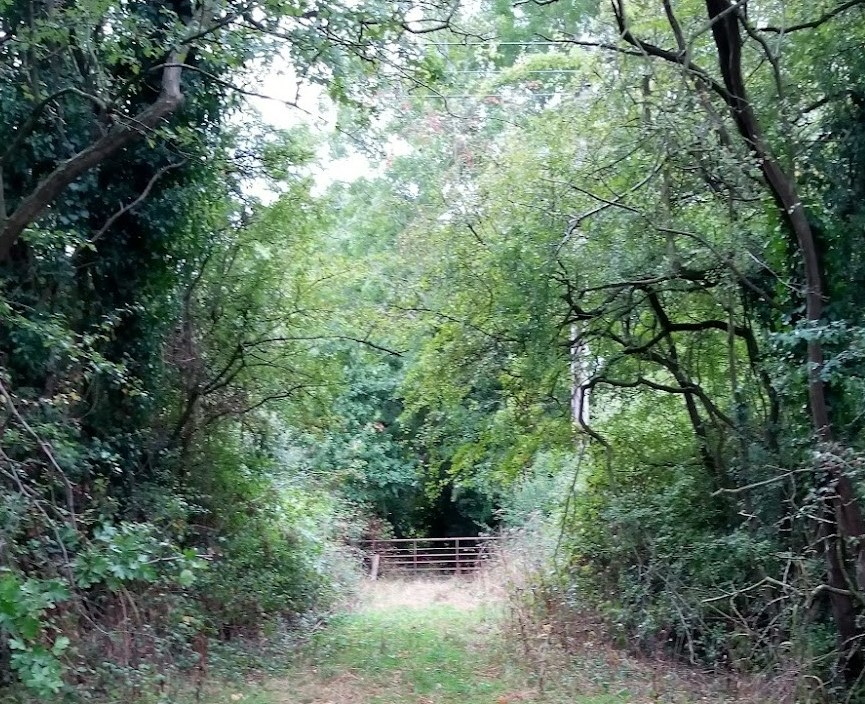
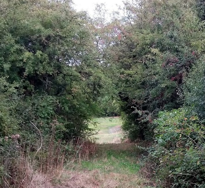
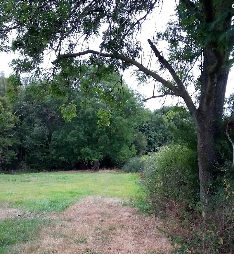
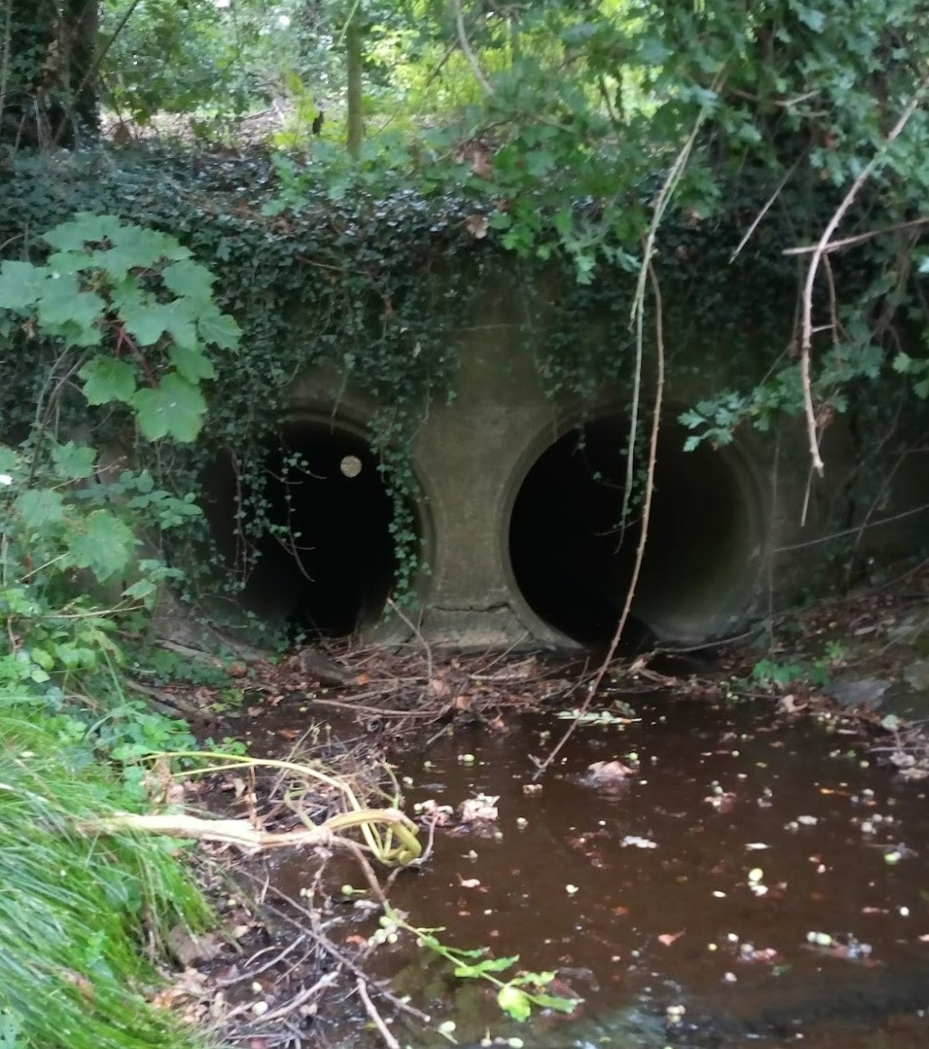
Sesswick Halt railway station was a station in Sesswick, located on Holt Road near School house and the road speed sign today (see photo 1 – 1a). The three terraced cottages opposite School Farm were named after the station, which now remains buried along with the railway cutting and the bridge, which carried the Holt Road over the cutting (see Map1b). The cutting was so deep that when the train approached from Pickhill you could only see the smoke from the steam engine puffing out above the surrounding fields. Evidence of the track in the landscape is seen where the telegraph poles follow its straight path now in fields (see photos 2-3) to a second bridge at the far end of Nant Clwyd Estate (see photos 4 - 6). This bridge, now in a dilapidated state traversed the railway line and the lane above it was called the Green Road because it was an agricultural dirt track and pedestrian route leading from Bedwell Road through Bedwell Farm to the Industrial Estate and Ammunition Factories in the war years (see photos 7-8). In those days people used to walk and cycle to the factories to work. It also led to the railway sidings and Gas Works where coke was transported from the Gas Works by train and also by road.
The station was opened on 1 October 1913 and closed on10 September 1962. Originally Cambrian Railways became part of the Great Western Railway. The name of Sesswick Halt on the Ellesmere to Wrexham railway gave its name to the area.
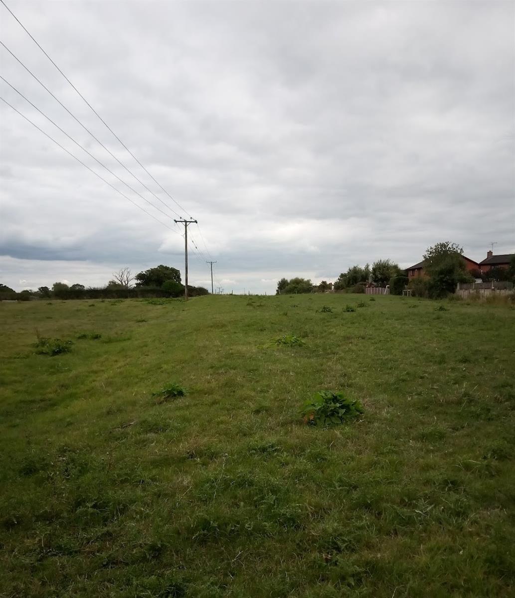
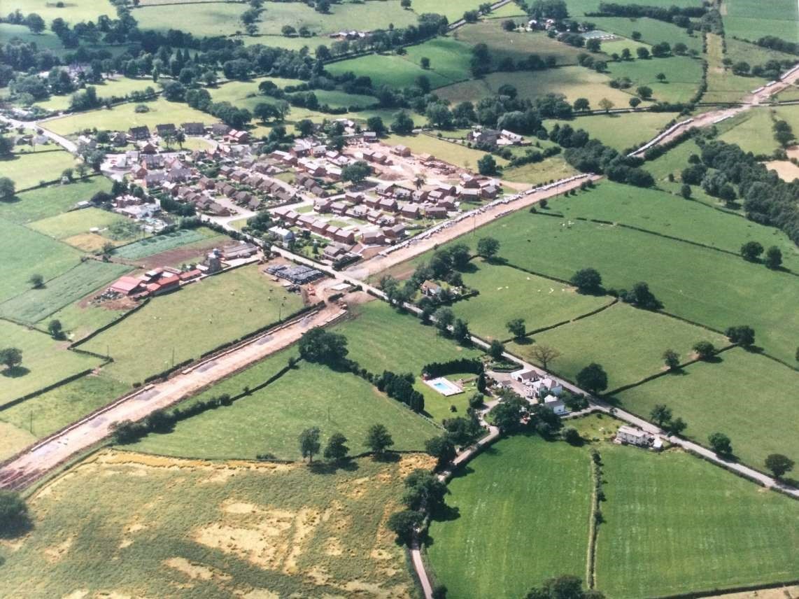
For a number of years after closure the track was removed and became overgrown and eventually sold to local farmers, who saw the potential of offering it to construction companies to deposit rubble and soil from building sites. Thousands of tons of material were dumped here and gradually over a lengthy period of about 12 -18 months the cutting was filled to the surrounding field level and given over to grassland for grazing as you see it today.
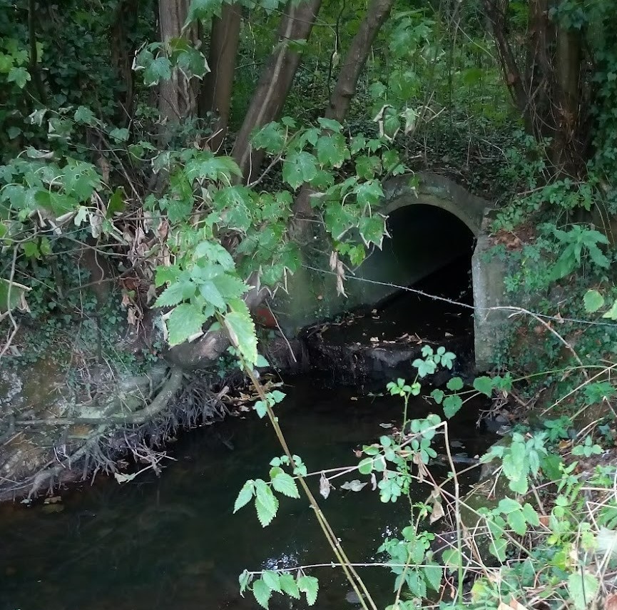
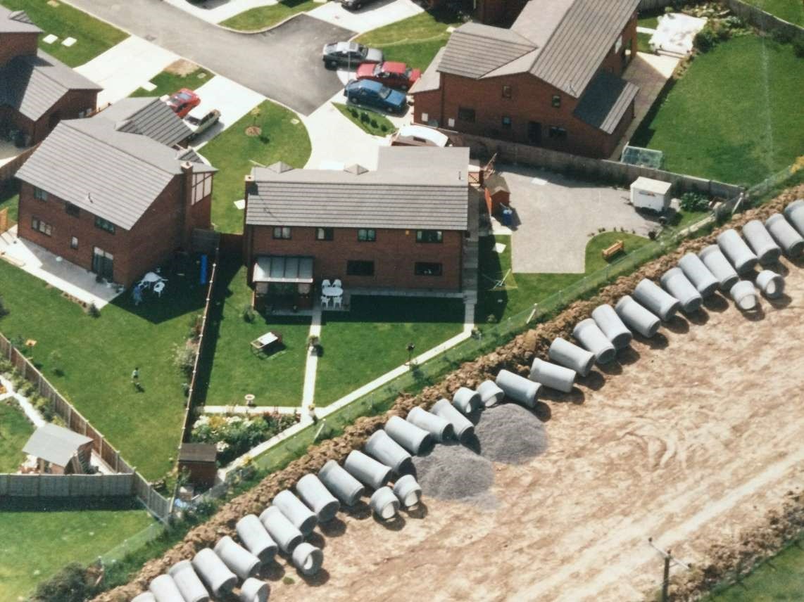
In 1992 Five Fords Sewage Water Treatment Plant in Marchwiel laid a massive new pipeline along the former railway track down to the River Dee (see photos 9 -10). The youngsters in the area, in spite of parents’ warnings, took great delight in riding their bikes through the pipeline.
1 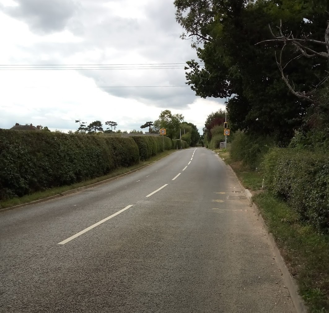
1a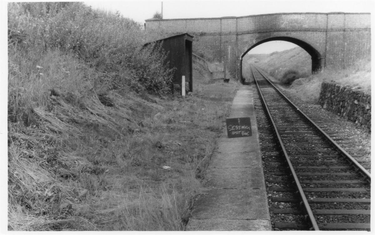
Map 1b
Pic 2 & 3
Second bridge at the far end of Nant Clwyd Estate (photos 4 - 6)
Pic 7

Pic 7a
Pic 7b
Pic 7c
Pic 8
Pic 9
Pic 10
Wrexham to Ellesmere Railway Line
The Wrexham & Ellesmere line was opened in 1895 and was worked by the Cambrian Railways and, for a few years at least, this singletrack branch formed part of a tenuous cross country link between Manchester and Liverpool and the districts served by the Cambrian system. The 1922-1923 Grouping ensured that the line passed into Great Western hands and it treated the route as an ordinary country branch line, and in the 1920s and 1930s this twelve mile single track route would have been very similar to scores of other rural lines. In World War II the route carried extra traffic to and from a large ordnance factory that had been established in the Parish of Marchwiel, and in post-war years the site of this factory became an industrial estate that continued to provide freight traffic for the railway. Sadly, the Wrexham to Ellesmere line did not survive the anti-railway purges of the 1960s, and its passenger services were withdrawn in 1962. Freight traffic continued to operate over the northern end of the line until the 1980s. There has not, hitherto, been a history of the line, and very few articles have been written; neither has the route received much attention from casual photographers. This present volume therefore fills a small but significant gap in the railway history of the Welsh border region.
Produced by Raymond Jones and Heather Rowland